Accurate GPS Location
Capture precise latitude, longitude and GPS accuracy.

Capture location-verified photos with GPS coordinates, timestamps, maps and custom stamps — all directly from your phone.
Accurate location • Custom stamps • Easy sharing
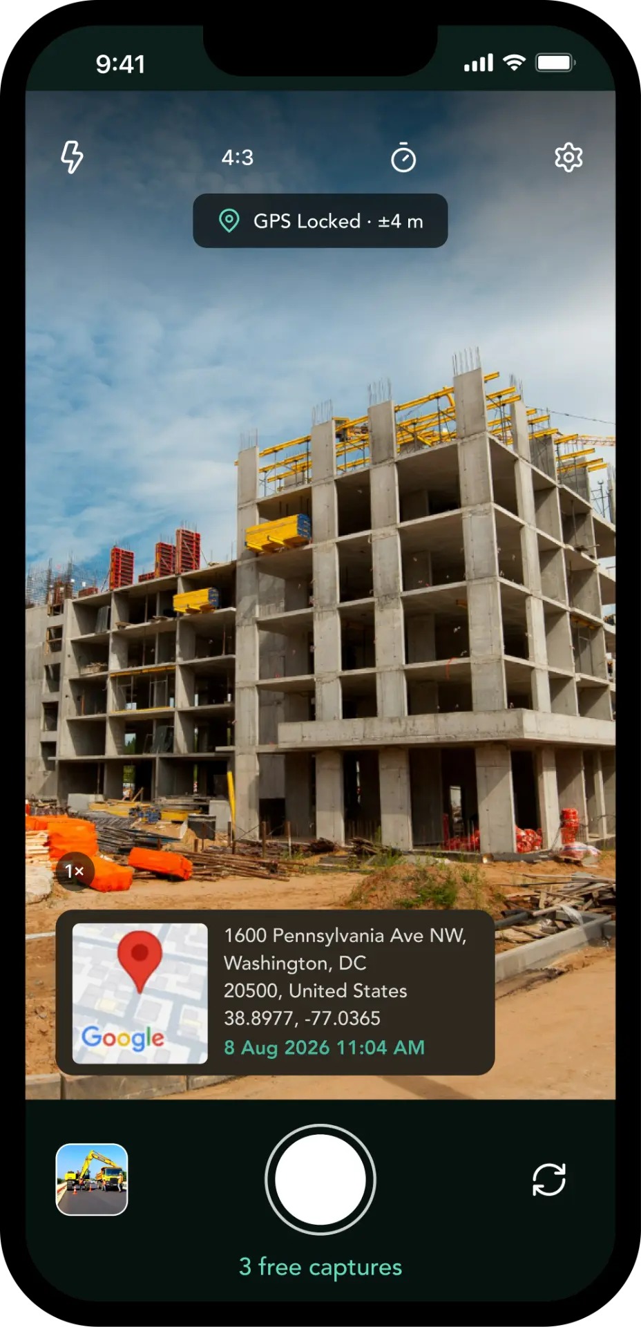
Accurate GPS
Capture precise coordinates.
Automatic Timestamp
Record date and time automatically.
Custom Location Stamp
Control what appears on your photos.
Easy Sharing
Share documented photos instantly.
Capture it. Tag it. Prove it.
TagCam turns everyday photographs into reliable, location-aware records that can be used for site documentation, reporting and proof of work.
The capture screen shows exactly what will be recorded before you press the shutter, so every photo leaves the site with its context attached.
How TagCam Works
Step 01Take a photo directly inside TagCam while the application verifies your current GPS location.
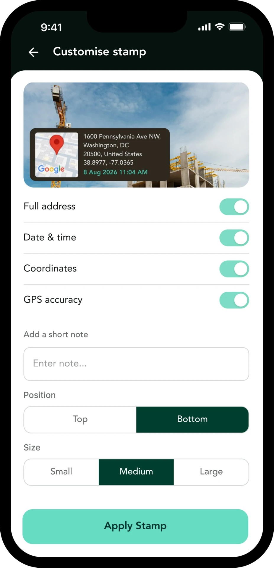 Step 02
Choose exactly which information should appear on your location stamp.
 Step 03
Save your location-stamped image and share it wherever it is needed.
Features
Capture precise latitude, longitude and GPS accuracy.
Automatically attach the photo capture date and time.
Convert your current location into an easy-to-understand address.
Choose full address, date & time, coordinates, GPS accuracy, notes, stamp position and stamp size.
Preview different location-stamp templates before saving the photo.
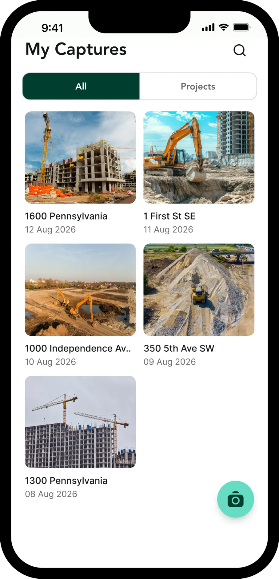
Keep all captured photos organized in one simple gallery.
Associate images with different projects or worksites.
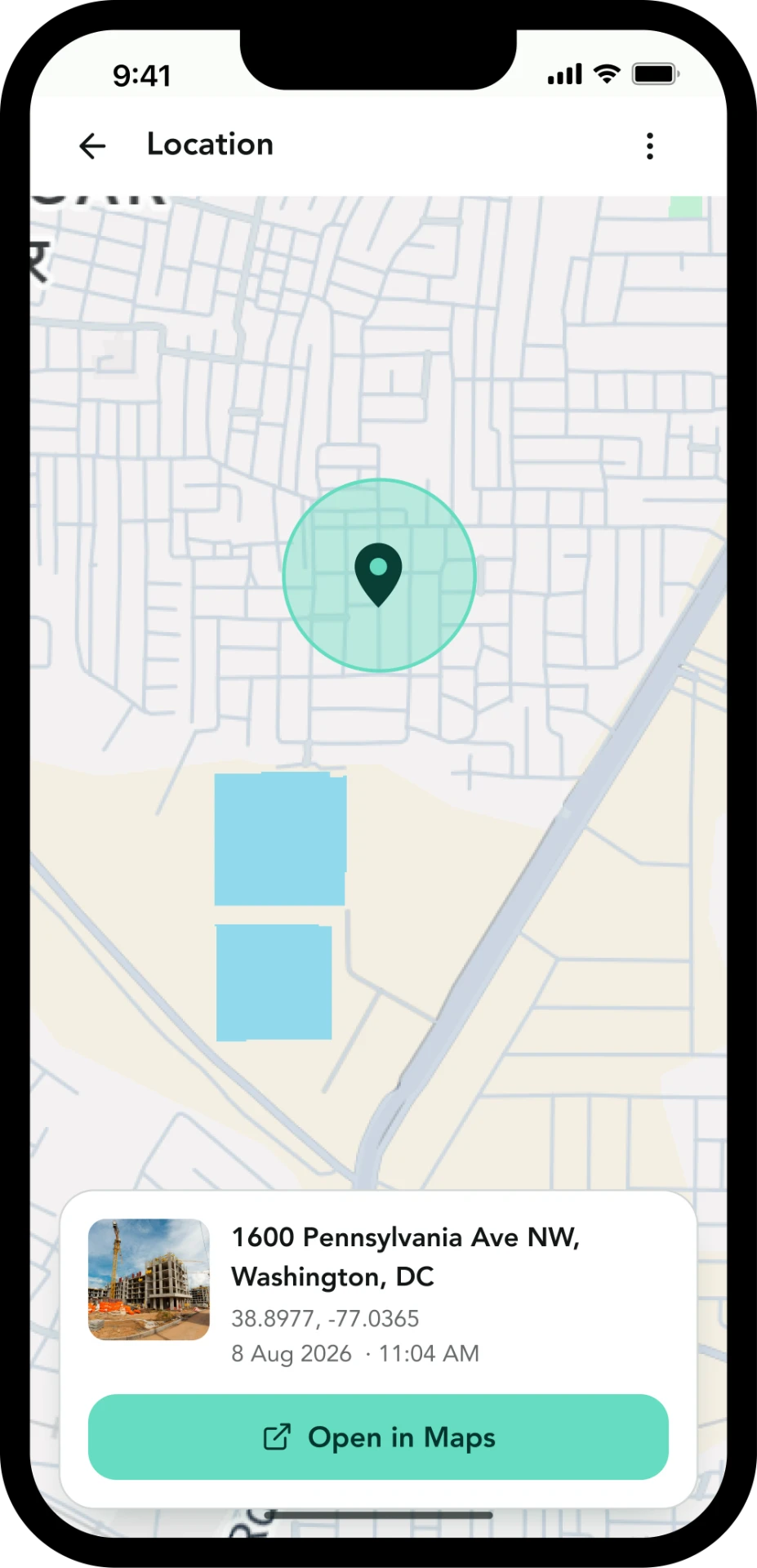
Open the captured photo location on a map and verify exactly where it was taken.
Control exactly what should be visible on your captured photo.
Preview & Change Template
Preview different geo-stamp layouts and select the format that works best for your documentation.
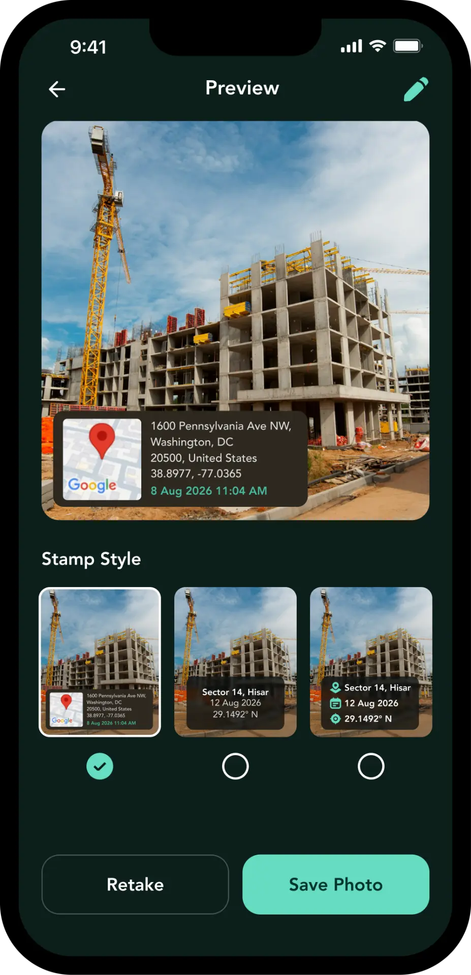
Style 1
Map card
Map thumbnail with full address, coordinates and time.
Style 2
Centered text
Compact place name, date and coordinate line.
Style 3
Icon rows
Icon-led rows for location, date and coordinates.
My Captures
Every stamped photo lands in a gallery built for field work — searchable, grouped by project and ready to share.
Search photos
Find a capture by address or project.
Browse recent captures
The newest documentation stays on top.
Organize by projects
Group captures per site or job.
View photo details
See address, coordinates, accuracy and notes.
Edit stamps
Adjust what a saved capture displays.
Share photos
Send stamped photos where they are needed.
Delete unwanted captures
Keep the gallery clean and relevant.
Maps & Location
Use Cases

Document site progress and inspections.
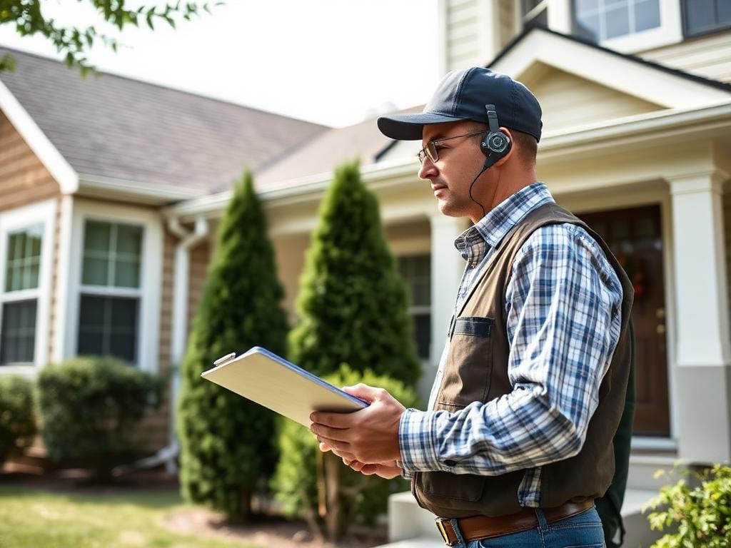
Capture location-aware inspection evidence.

Track field activities and maintenance.

Provide verifiable proof of completed work.
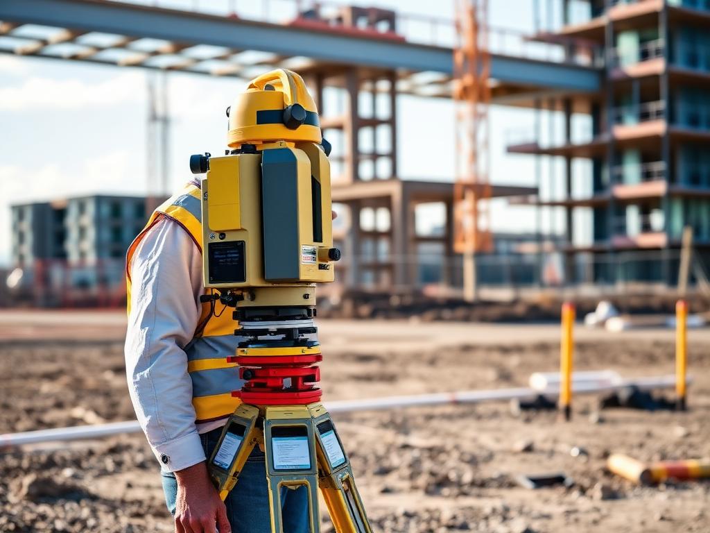
Keep geographically accurate visual records.
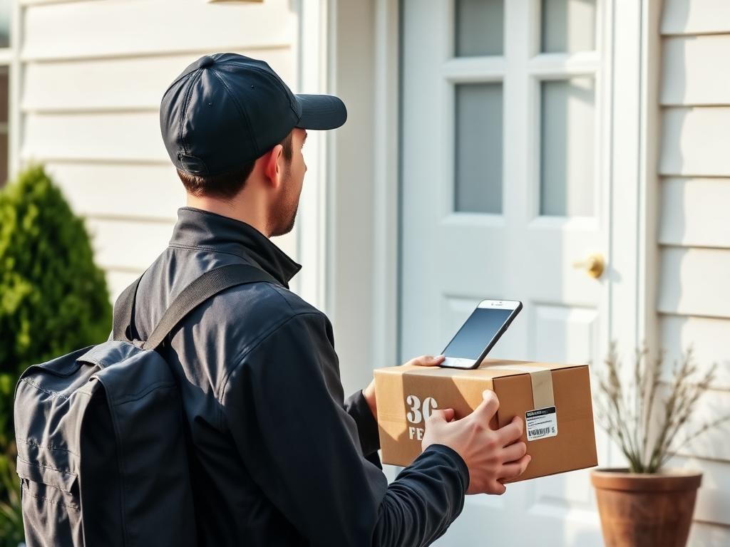
Capture proof of delivery or location-based activity.
Privacy & Trust
TagCam uses location information only when it is required to create location-aware photo records, and keeps privacy and data controls easy to understand.
Clearly explain when GPS information is being used.
Users control what information appears on their photo stamps.
Clear options for managing or deleting account data.
Pricing
Free
3 Captures
Try location-stamped capture before upgrading.
TagCam Pro
₹49
Continue capturing once your free captures are used.
Final price, billing period and taxes are confirmed on the store listing at purchase.
Regular Photo
TagCam Photo
Add reliable location information to your photos with TagCam.